| - | - | - | - | - |
| The Dragon #1 | Best of Dragon Vol. I | OD&D | 1st Edition AD&D | Dragon magazine |
Probably one of the main things that keeps
D&D
judges
from turning their games from a good dungeon
into an exciting
campaign is a lack of a wilderness area.
If Part 1 of this series
helped you enlarge your Game with a town
or city, this article will
enable you to map in the area surrounding,
to build other cities,
baronies, kingdoms, even whole continents
crawling with monsters,
treasure, and adventure. And from
there it is a simple step
to turn your castle game into a full fledged
campaign. (Further information
on campaign
games will be given in Part 4 of the series). <There is no part 4>.
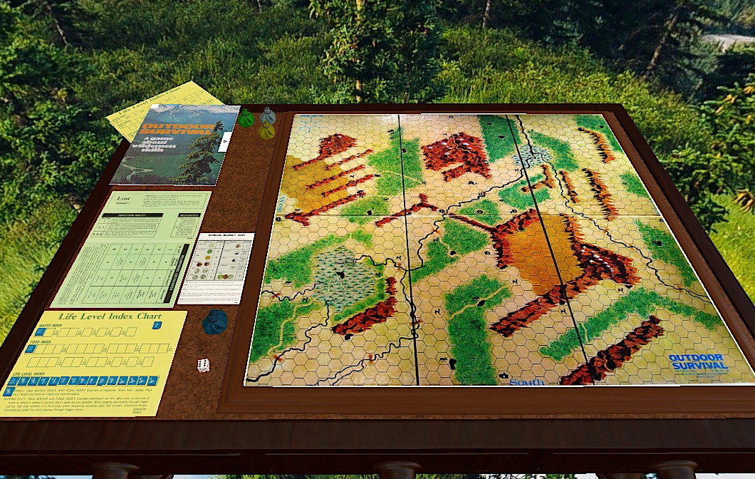
Outdoor maps can be done in several ways,
but I will discuss
only the 3 used most often.
1st, there can be just 1 map made which
only the judge
sees; this way any special areas can be
openly marked.
2nd,
again only 1 map can be used, but instead
it is laid out before
the players during each outdoor adventure.
This method does involve
the problem of how to mark the special
sections that the
judge doesn't want his players to know
about. The easiest way to
get around this is to grid off the map,
the list the grid co-ordinatets
of special regions on a separate sheet
of paper. Then
when adventurers move in the wilderness
it will be a simple matter
to check out whether they have stumbled
on something
special.
The 3rd way is probably the most difficult
way, the most interesting
way for the players, and the most fun for
the judge. [It is
also the recommended way. Ed.] It requires
2 maps: 1
detailed with all the special treasures
and areas marked on it, for
the judges use, and one vague map where
only major
geographical features and cities are shown,
and not always where
the judges map shows them to be. This
map represents what the
players know from the slight amount of
information they can pick
up in the town they are in.
For the 1st attempt it is best to stay small;
map out a
barony or dukedom or an area of equal size.
That way the map is
detailed, less ideas are needed for strange
areas, (truthfully, how
many weird things can you find in the average
barony?) and
more time can be spent on setting up a
key for the map. (It is best
to use colored pencils and hexagon paper
on the final draft, but
pencil and regular graph paper is all right
for planning out the
map.)
Although this is a fantasy game, and anything
can happen,
stay away from putting swamps
on mountaintops, and rivers that
flow up and down over hills.
And considering that the area that
you are mapping out isnt probably more
than 40 x 40 miles, at
least for your first attempt, it will basically
be one type of terrain
with a few variations. (i.e. Mapping out
a small barony, it is
decided that most of the terrain is grasslands,
with a small river
flowing across the map, a few woods and
small forests scattered
around, and a hilly region that borders
the eastern edge of the
map which happens to be the foothills of
a range of mountains to
the east.)
Before you can begin to draw your map, you
must first
decide on several things; scale of the
map, elapsed time of 1
turn, and movement rates for players. Before
you start deciding,
tho, take a look at pages 16-17 of Part
3 of "Dungeons &
Dragons" which gives basic movement
rates and terrain penalties
for a 5 miles/hex and one turn/day map.
From here you can
probably calculate your own movement, turn,
and scale.
Now that you are ready, you can start on
the map itself. You
should already have the area around your
town and the dungeon
entrances drawn out. These should be placed
near the center of
your map. (This isnt necessary on larger
maps, but for this size
its good for the PCs to be able to go
in one direction
some distance before they reach the edge
of the map.) Now you
can begin filling in the rest of the map.
If you havent as yet
figured out a color key, the following
suggestions might help:
Blue
Water (different shades can be used to show depth)
Light Green Grasslands
Dark
Green Woods, forests, etc.
Blue
Green Swamp
Yellow
Desert
Light
Brown Hills
Dark
Brown Mountains
Red
Major Roads
Orange
Minor Roads
Black
Cities, towns, hamlets
And the following symbols should help:
Triangles Hamlets
Squares Towns
Circles Cities
Crosses Fortresses
In addition, stars of various sizes can
symbolize different
types of capitols or seats of government,
while any of the above
circled means a port of that size.
When drawing your map, first sketch in major
terrain
features. Rivers, mountain ranges, large
lakes, seas, oceans, and
so forth. Fill in the empty areas with
smaller types of terrain, then
begin placing your large cities, ports
and capitals, and work your
way down to the hamlets. Now finish off
the map with your road
network.
Remember, when judging wilderness adventures,
use the
tables in the beginning of booklet 2 of
D&D for the number of
monsters appearing.
The wilderness is not a kind place (except in
semi-civilized areas) and players are venturing
into it at their own
risk. In most cases, only very strong PCs
or large
parties should be able to enter the wilderness
with any sort of
chance of surviving. It is true that weak
parties can survive in the
wilderness, but seldom for any length of
time.
Any questions regarding this article
may be addressed to the
author (Joe Fischer) c/o THE DRAGON
Hints, POB 756,
Lake Geneva, WI 53147, accompanied
by SASE.